RAMBLING ON RIVER TIME
Minnesota and Wisconsin’s Great River Road
“He saw that the water continually flowed and flowed and yet it was always there: it was always the same and yet every moment it was new.”
- Siddhartha, by Hermann Hesse
Like the river in Siddhartha, the Mississippi River
flows on, yet is always there. It seems the same, yet is ever changing. How can the boisterous brook in Minnesota’s Itasca State Park be the same broad-shouldered river that powers past Wabasha and La Crosse?
Lucky for road ramblers,
there’s a network of highways and byways that lets you get close and personal with the Father of Waters. The Great River Road (GRR) was established in 1938 as the national parkway of the Mississippi River. If you were to take in the whole route, you’d put on 3,000 miles through 10 states. Just follow the distinctive green Pilot’s Wheel road signs from Itasca to the Gulf of Mexico.
If that seems a bit long for a weekend jaunt, try the Minnesota and Wisconsin segments of the Great River Road. In the Gopher State, that means about 565 miles of river rambling and about 250 miles in Wisconsin. Minnesota’s Great River Road has two components: the federally designated National Route (marked by the pilot’s wheel symbol on the Minnesota state highway map) and a state designated alternate route. Except for two northern road links to Ontario and Manitoba (through International Falls and Warroad), the Great River Road network generally traces the course of the Mississippi River through the state to the Iowa border.
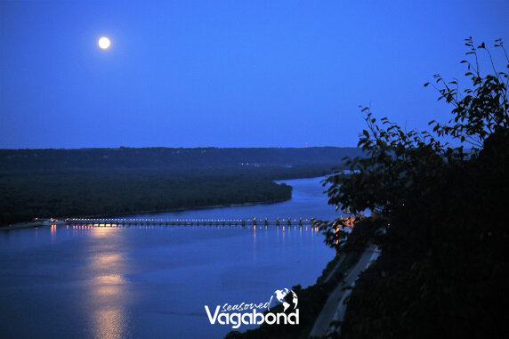
The fun part for motorists and bicyclists is that you can catch the GRR at any point and discover something new about the river, its towns and the state. Our family always enjoys wading across the infant stream at Itasca State Park or gazing over the vast river valley from a lofty perch like that at John A. Latsch State Park on Hwy. 61 between Wabasha and Winona.
Of the two states, Minnesota’s GRR offers a greater range of river experience. You can trace the Mississippi from its humble headwaters through wilderness and pine-studded lake country to rolling farmland, the Twin Cities and on to the soaring bluffs and backwaters below Hastings.
Over on the Cheesehead side of the river, the GRR is a ribbon of adventure that hugs the banks of the Mississippi River as it forms Wisconsin’s western border. Along the way, the road (Hwy. 35) nestles between the river on one side and towering headlands on the other. This portion of the GRR is one of the most scenic drives in mid-America.
As majestic as the route is, it only comes alive when you get out of your car. You can enjoy both close-up and bird’s-eye vistas of the grand river valley from numerous pullouts, picnic areas, overlooks and parks.
One of my family’s favorite hikes
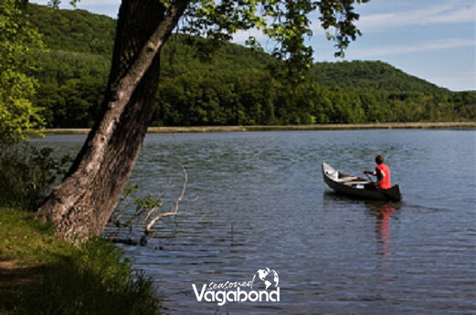
is to the crest of Brady’s Bluff in Perrot State Park, near Trempealeau, Wisconsin. The upper Mississippi River attracts over 60% of all the bird species in North America. You’ll be able to spot eagles and hawks gliding in the updrafts. At this height, GRR traffic on the Minnesota side looks like ants. Though the vistas offer grandeur, the river towns like Maiden Rock, Pepin and Ferryville give the road its character. You might even chance upon a storyteller like Kenny Salwey, a self-proclaimed “river rat” from Alma who likes to say that he “cut his teeth on a canoe paddle and seasoned it with Mississippi mud.”
A journey on the Great River Road is about taking time, not making it. The highway, like the river it traces, keeps its own appointed rhythms.


